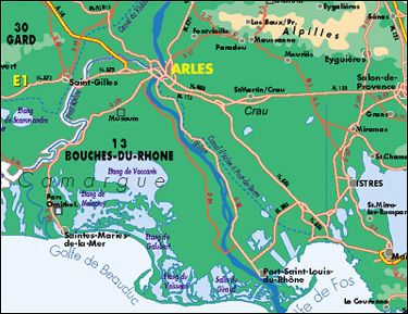
Map of Arles, Provence
Arles sits on a low hill where the Rhône river branches in two parts to the sea. The commune is the largest in France, with an area of about 170,000 acres The town dates back to the seventh century B.C., and was a major Gallo-Roman city. The major Roman sites, such as the Arena and the Theatre, are unique in that they are integrated into the houses and buildings of the town, rather than sitting apart, as they do in places such as Orange. Arles was one of the richest urban centres in France during the Gallo-Roman period, and by the time of Constantine (306-337 AD), it was the second capital of the Empire. Ausonious called it “the little Rome of Gaul.” Barbarian invasions frm the 5th ot 9th centuries were devastating, and Arles didn't recover until Charlemagne's empire, when it became the capital of an independent state, the Kingdom of Arles.
Adapted from a web source that I have now mislaid.